Geolocation Solutions

Empowering real-world impact through geolocation-tagged transactions and decentralized geodata for various applications.
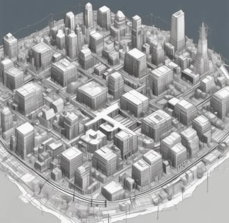
Dynamic Map Viewer

Explore geolocation data interactively with our dynamic map viewer for enhanced spatial analysis and planning.

A large map is filled with colorful push pins, particularly concentrated in the region of the United States and Canada. The map details geographical areas, continental outlines, and place names, with pins marking specific locations.
mobile App

Web3map offers an easy entry for all by using well known web app designs

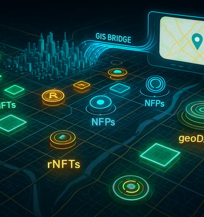
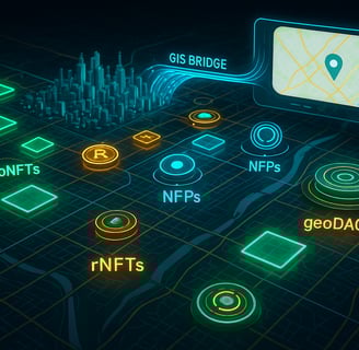
Leverage QGIS Bridge for advanced geospatial analysis and integration with existing geographic information systems.

QGIS Integration
A detailed map is displayed on a standing sign surrounded by lush green foliage. The map seems to outline a project related to a natural area, with various sections marked in bright colors such as green and pink. Tall bushes and trees are visible, creating a serene, natural environment.
A digital map highlighting various countries in Europe and Africa with red dots indicating specific points of interest. The map is dark-themed with bright red markers concentrated around major cities.

Provide a short description of categories listed below.

POP (Proof of Place)

Proof of Place adds the where? to blockchain transactions. All by protecting private data via zk range proofs
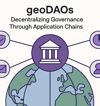
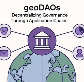
geoDAO

Location-based DAO governance from streetlevel to country, from parks to forests
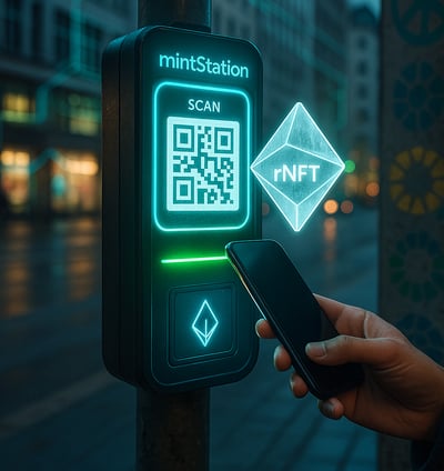
Mintstations

Virtual or physical location based web3hubs for access and minting of location related NFTs

Tools

rNFTs

Recycable NFTs used for messaging, advertisment and timerelated information are reducing blockchains blowup

geoNFTs

NFTs with relations to geolocations

TLDs

Web3domains based on specific TLDs enable hierachical data structures and access controls

POSI
(Proof of Sustainable Impact

Recycable NFTs used for messaging, advertisment and timerelated information are reducing blockchains blowup

Drop.me

NFT based messaging to receive rNFTs and geoNFTs

Innovative tokenmodel

EXIT+